Varanasi Unveiled: People, Places and Patterns
Varanasi
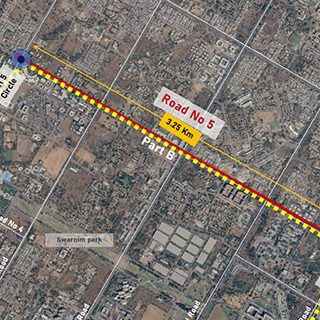
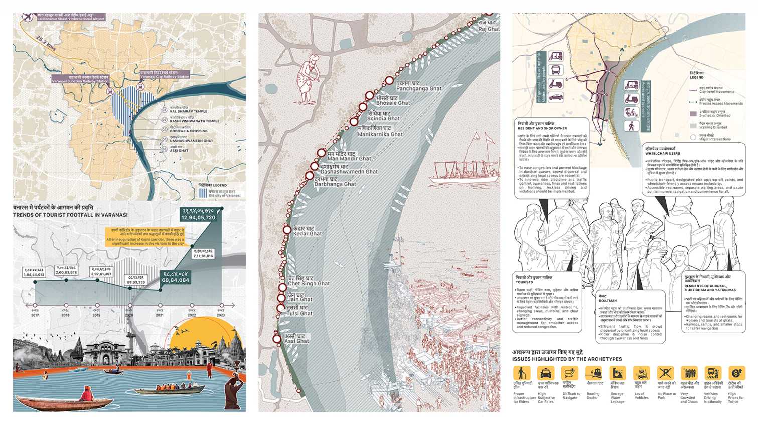
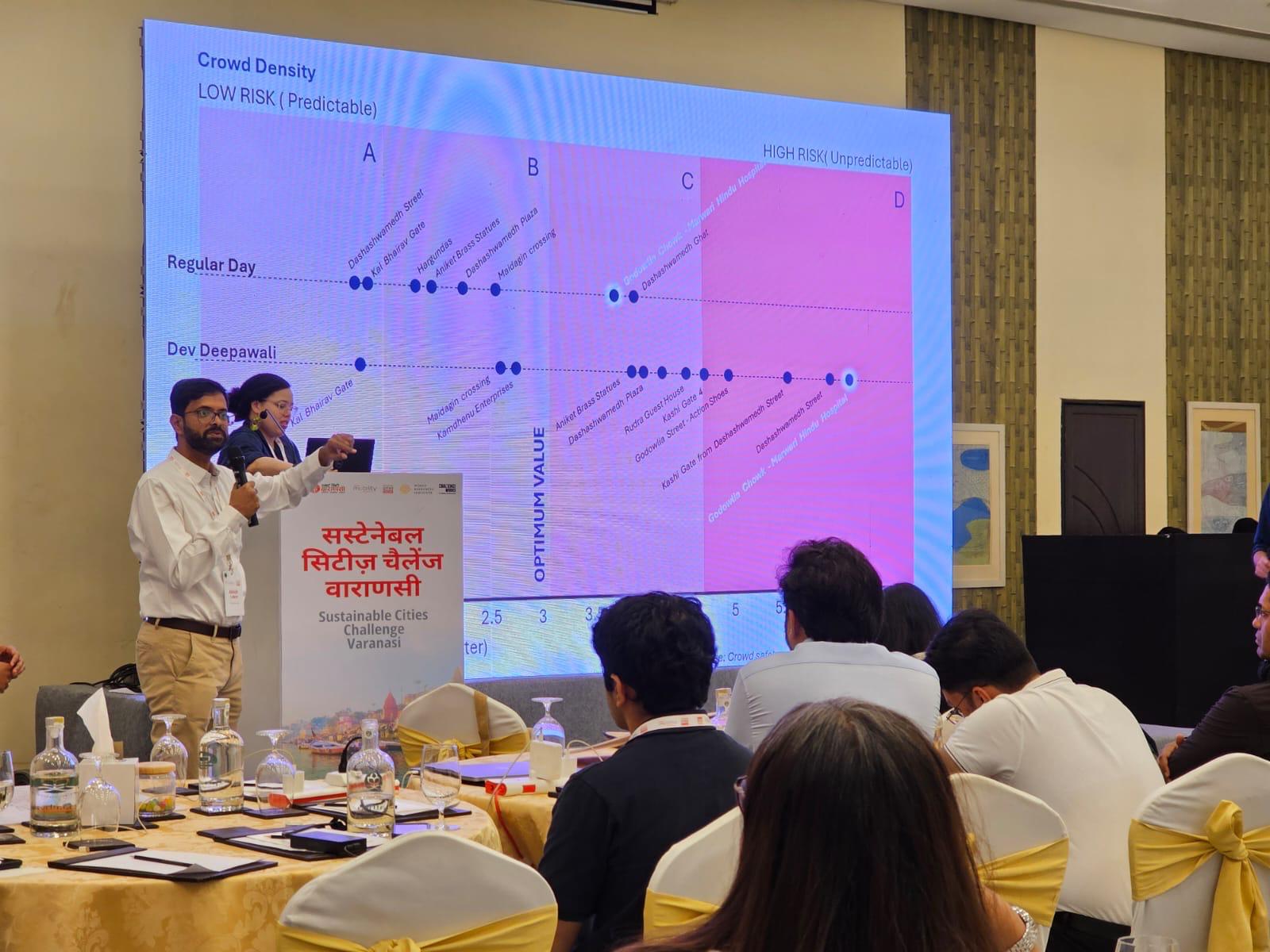
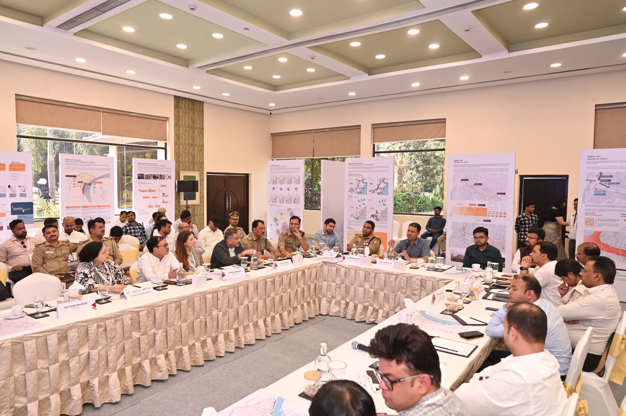
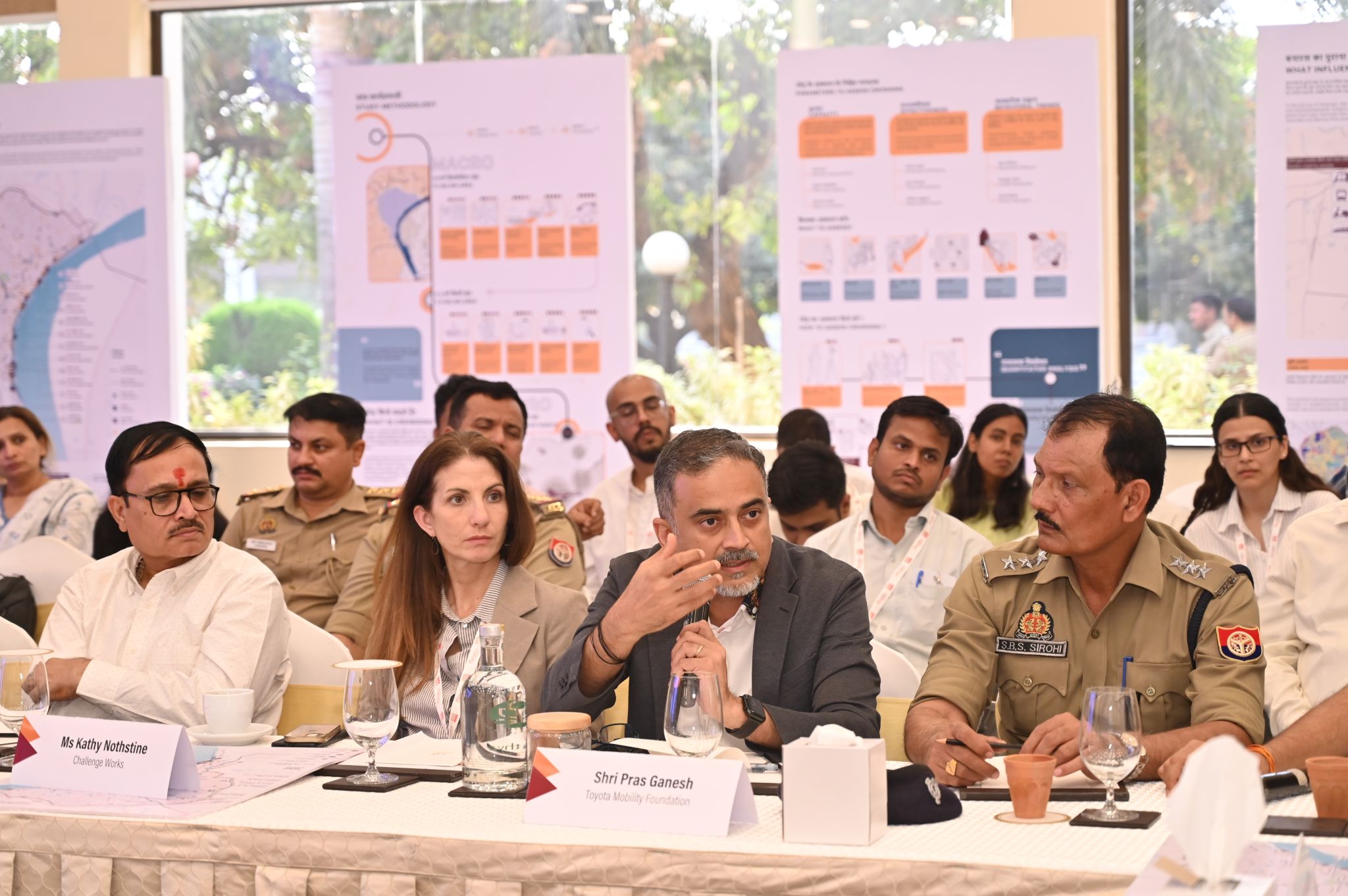
Every year, Varanasi’s narrow lanes and ghats welcome millions of visitors all throughout the year in surge numbers, creating complex challenges of overcrowding in the old city. To help the city manage this surge sustainably, WRI India partnered with The Urban Lab to map and understand how people move, gather, and experience the historic core of Varanasi.
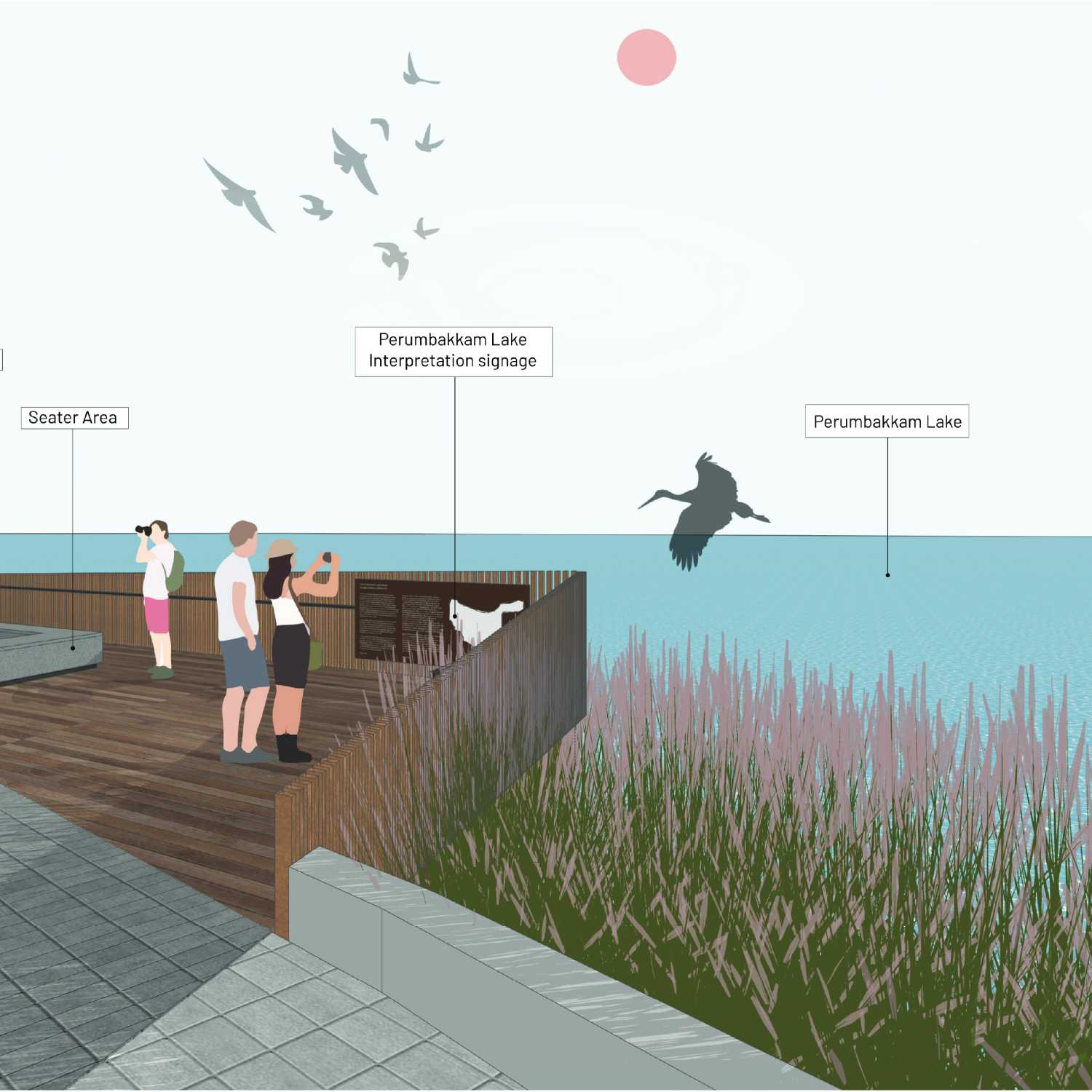
Through on-ground surveys, layered mapping, and data analysis, we are decoding crowd movement patterns to identify bottlenecks and improve safety and accessibility. The project creates visual tools and actionable insights to support city agencies in managing crowd surges while preserving Varanasi’s vibrant street life. By blending data-driven analysis with urban design thinking, we are contributing to making Varanasi’s public spaces safer, more resilient, and welcoming for everyone.
Services
Layered base maps (land use, public spaces, etc)
Crowding hotspot identification
Fieldwork and consultations
Survey design, focus group discussions
Vehicle and pedestrian volume, flow, and conflict point mapping
Data analysis for density, flow rates, waiting times, and bottlenecks
Narrative cartography of crowd movement patterns
Workshops with stakeholders
Support for Sustainable Cities Challenge solution design
Client
World Resource Institute (WRI)
Period
September 2024 to February 2025
![]()
![]()